|
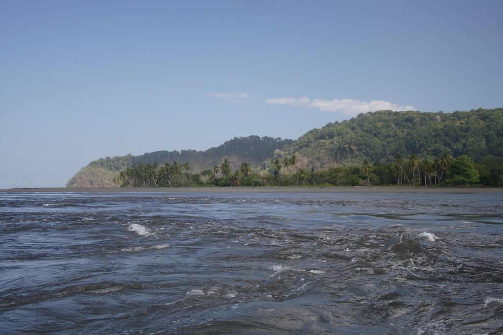 |
| Currents where the Rio Sierpe leads into the sea | |
| Latitude: N 8°46'30,74" | Longitude: W 83°38'1,30" | Altitude: 13 metres | City: Sierpe | State/Province: Punta Arenas | Country: Costa Rica | Copyright: Ron Harkink | See map | |
| Total images: 20 | Help | |
|
|
|
| Currents where the Rio Sierpe leads into the sea | |
| Latitude: N 8°46'30,74" | Longitude: W 83°38'1,30" | Altitude: 13 metres | City: Sierpe | State/Province: Punta Arenas | Country: Costa Rica | Copyright: Ron Harkink | See map | |
| Total images: 20 | Help | |